
Volumetric Surveys
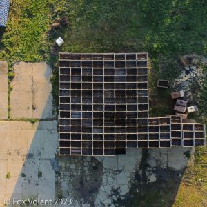 Volumetric surveys are used across a variety of industries to calculate the volume of stockpiles, earthworks or extracted materials. They are very effective for monitoring changes at large sites such as landfills or quarries, or simply to get an up-to-date assessment of your stockpiled materials, such as coal or fertilizer.
As with other types of drone surveys, volumetric surveys involve flying over an area and taking hundreds of geotagged images. These are images which contain the precise location at which they are taken. Once obtained, photogrammetry techniques are used on the images to build a digital model for taking measurements from.
As an alternative to ground-based survey techniques, volumetric surveys using drones allows for gathering and processing the data more rapidly. This in turn helps to reduce the overall cost, and improved levels of accuracy as more data points are collected.
 Sites that are inaccessible or too dangerous can be easily surveyed from the air using a drone. There may be loose materials that cannot be walked upon, or materials that are hazardous to human health.
Adding together the benefits of increased survey speed, ease of access and improved accuracy makes drone based volumetric surveys very cost-effective, meaning they can be undertaken more regularly. You then have an up-to-date picture of what’s happening at your site over time, allowing for better prediction of future requirements. Benefit from having the latest data to hand when making important decisions.
For more information on our volumetric survey service, use our contact form to get in touch with us.