Aerial Photography
Let us take care of your next aerial photography project for you. We are experienced drone pilots and photographers with an eye for detail.
Our Services
Aerial Photography, Operator Hire & Image Processing
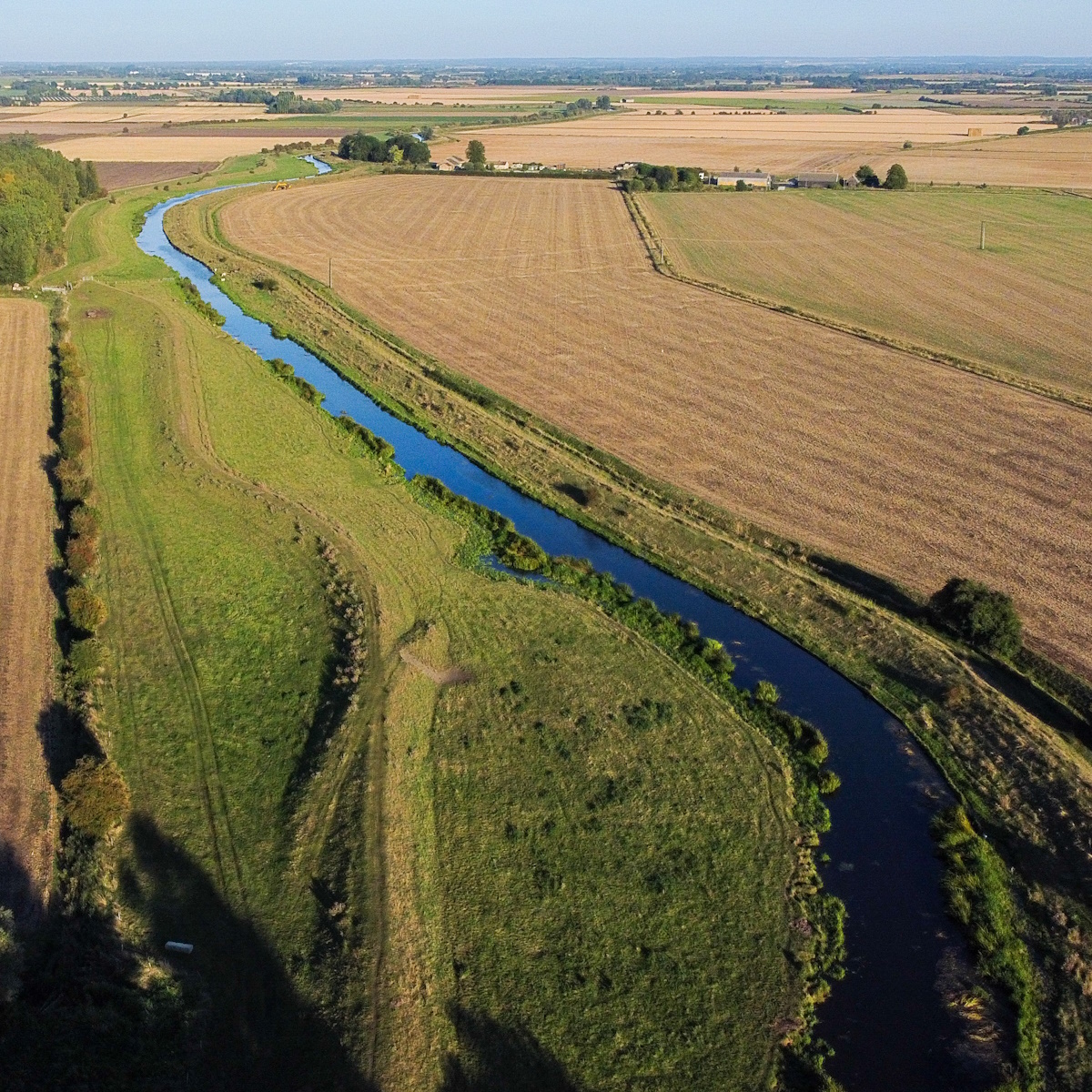
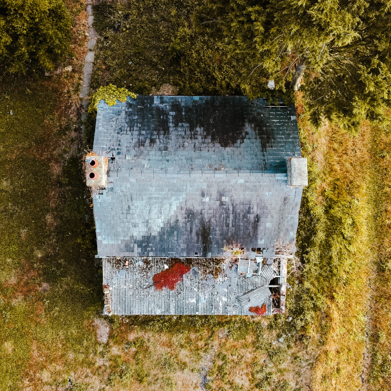
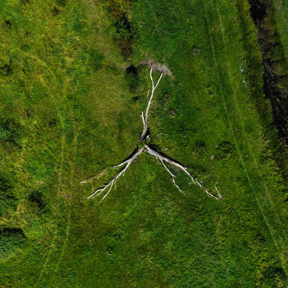
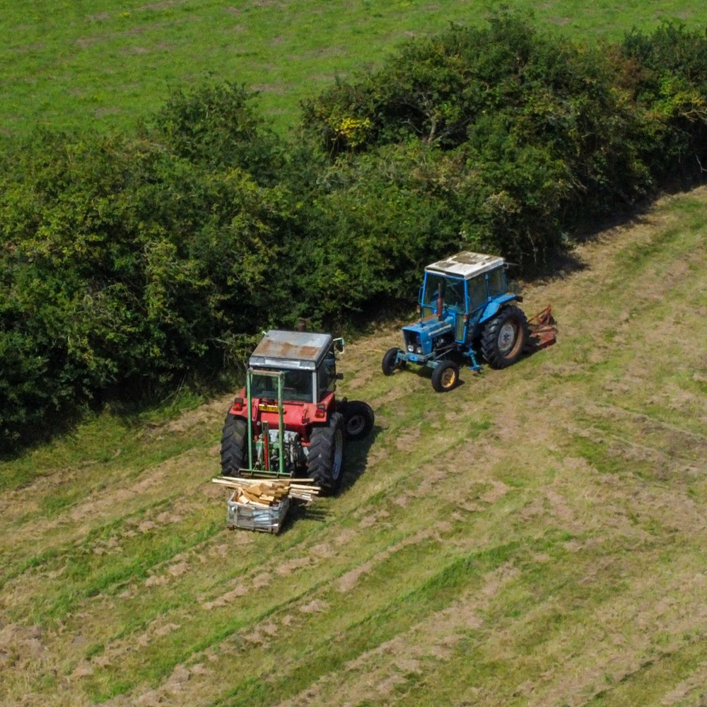
Aerial Photography
Enhance your next project with the addition of stunning aerial photographs. Our experienced aerial photographers are qualified drone pilots with an eye for detail.
Check our gallery below for examples of our work, then tell us about your project using our contact form.
Operator Hire
Need to hire A2 C of C and GVC qualified drone pilots for photography, videography, inspection, or survey work? Call us on 01353 655762 or get in touch using the contact form below.
Discuss your requirements with a member of our friendly team and take advantage of our competitive hire rates.
Image Processing
We use the latest photo enhancement tools to process your images. These give stunning results, delivered in the format of your choice.
Additionally, we can generate orthomosaics, panoramic and 360 views as well as 3D models or digital twins.
Service Details
Aerial Photography
The advantages of aerial photography are now being seen across a wide range of sectors. From enhancing property profiles in the sales and rental markets with the addition of stunning aerial images, to tracking progress on construction sites.
Drones provide a perspective that allows us to the see and record the details of historic properties that may otherwise never be seen. Sites of archaeological interest can be monitored for changes as well as building an archive of records.
Aerial cityscapes and landscapes that were once the preserve of those with access to a plane or helicopter can now be obtained with a drone.
If you have a project that could benefit with the addition of aerial photography, then get in touch using our contact form or call us on 01353 655762.
Create stunning property profiles
Enhance your website and brochures with aerial images
Keep track of site progress
A permanent record of your project
Image Gallery
Examples of our work


Our online portfolio contains larger versions of the images shown above, and more examples of our aerial photography work. We also post regularly to the Fox Volant Instagram feed, so follow us there to receive regular updates.
Service Details
Drone Operator Hire
Hire a trained, qualified, and experienced drone pilot for your next project. Our pilots have completed their A2 C of C and GVC qualifications and have many logged flying hours under their belts.
They will capture the images required for your inspection, survey, or mapping project as well as for 3D models (digital twins). The inclusion of additional ground-based photography is also available.
Access to images will be provided either by SD card on day of flight or via a secure download link.
Our pilots are A2 CofC & GVC qualified
Fully insured up to £1m (can be increased)
Risk assessments completed for all projects
Competitive rates
Service Details
Image Processing
We work with professional image processing software to get your photographs looking perfect. As well as cropping and rotating to give you the composition you require, we will also colour balance the images when needed.
Adding your text or a logo can be done easily during the processing stage, so let us know if required. We can provide your images or video in the file format of your choice, to be downloaded from a secure location at your convenience.
If you are looking for digital twin 3D models, orthomosaic images or 360 panoramas, then this requires a different capture and processing approach, so let us know up front.
